
Hard
Aragon · Spain
- Distance
- 24.5 km / 15.2 mi
- Elevation gain
- 1,184 m
- Typical duration
- 7 hr 10 min
- Mountain
- Waymarked route
- Long-distance path
HardAragon · Spain
Étape 11 is a 13.8 km hiking route in Aragon, Spain. It climbs roughly 1,267 m (4,157 ft) along the way, topping out at 2,304 m (7,559 ft). Most people take around 4 hr 46 min at a comfortable pace, plus stops. Treat it as a full day out: the ascent is relentless in places and there are few easy escape points.
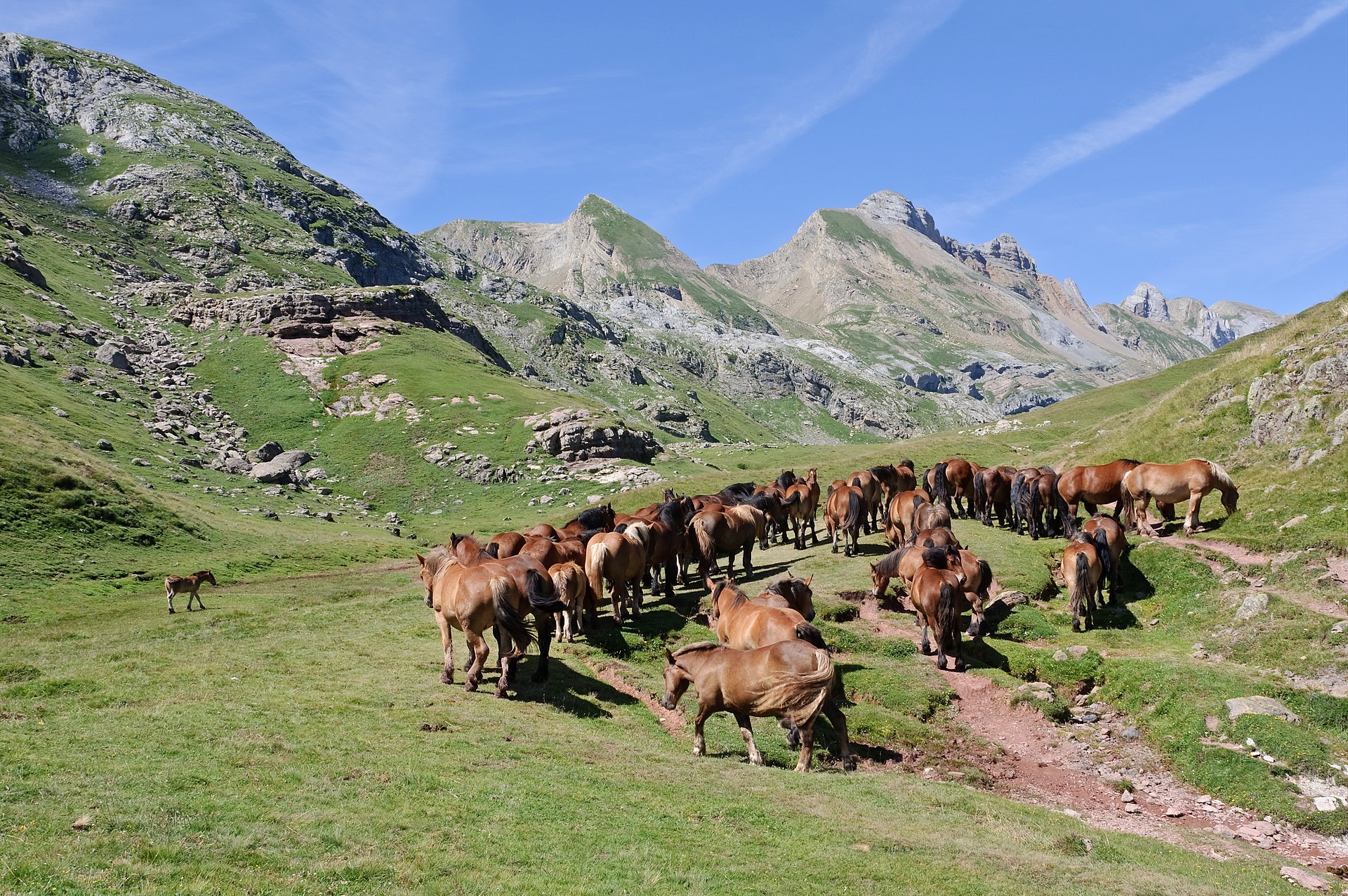
The character of the walk comes from the landscape it crosses rather than a single headline sight, which is exactly why it stays quiet even in high season.
Start and finish are in different places, which means public transport or a second car is part of the planning. It is not consistently waymarked, so carry a map or a downloaded track rather than relying on signs.
The high sections hold snow long after the valleys are green, which keeps the usable season to high summer.
In short, Étape 11 suits fit hikers with a habit of long days and an eye on the forecast. Dog access is not formally recorded here, so check locally before bringing one.
Numbered marks every 5 km
Route line from OpenStreetMap contributors, ODbL. View the source relation
The route is normally walked in the direction described below. The first third does most of the climbing, so settle into a slow rhythm early rather than trying to hold a flat-ground pace. The steepest pitch runs at roughly 61 percent, short but enough to slow most people to a crawl. Because the finish is away from the start, check return transport before committing to the second half.
Computed from distance, ascent, terrain features, surface and access data.
Terrain features, relief and photographic interest
Distance, ascent and how wild the ground is
Effort index from distance and climbing
Surface, gradient and ease of reaching it
Suitability for children who already walk
Access rules, terrain and water along the way
Emergency services in Spain are reached on 112. Tell someone your route and expected finish time before you set off, particularly if you are walking alone. Mobile coverage in the upper sections is patchy at best, so do not count on being able to call for help from the summit. If the weather deteriorates, descending the way you came is almost always the safer option.
Overcast light suits this route better than harsh midday sun, especially under tree cover. Take the shot on the way out. Conditions rarely improve by the time you come back past. A wide lens captures the scale, but a short telephoto is what turns a good view into a photograph.
No one has reviewed Étape 11 yet. Be the first.
Other routes within a short drive, ranked by distance from this trailhead.
Aragon · Spain

Aragon · Spain
Aragon · Spain
Aragon · Spain

Aragon · Spain